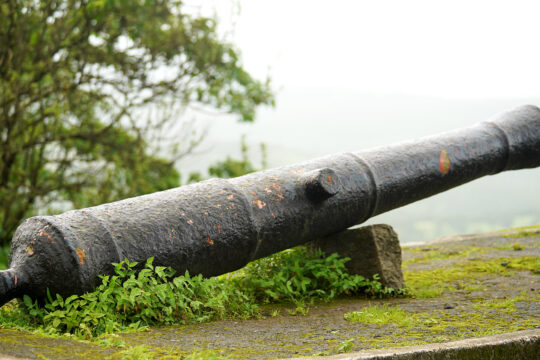
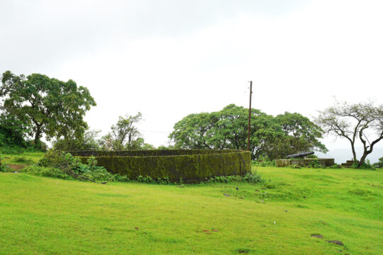
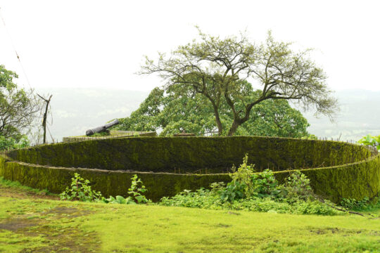
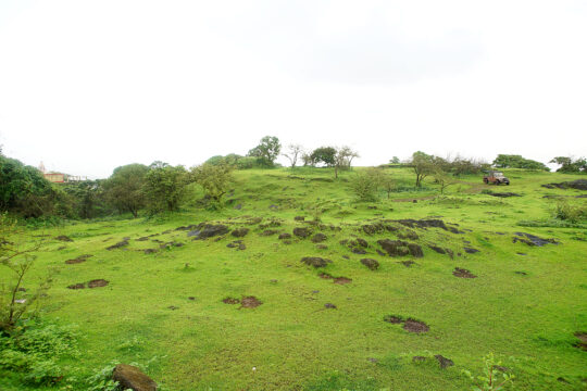
Mandangad
FortHeight : The fort rises 820 metres (2,700 ft) above the sea level
Type : Hill forts
Fort Range : Konkan
District : Ratnagiri
Grade : Medium
Mandangad and Bankot were built to safeguard the trade route through Savitri River, which was an important trade route.
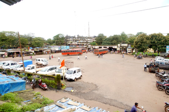
Mandangad (or Mandangadh or Mandangarh) is the headquarters of Mandangad taluka the northmost taluka in Ratnagiri district of Maharashtra, India.
Description
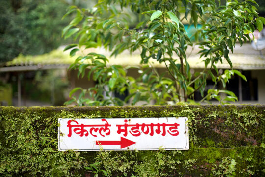
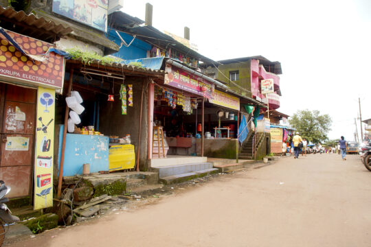
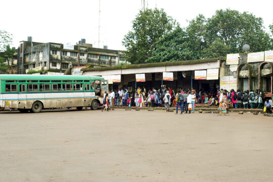
Mandangad is the taluka (tehsil) headquarters in Ratnagiri district of Maharashtra state in India. The heart of Mandangad is Mandangad fort.
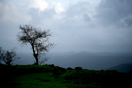
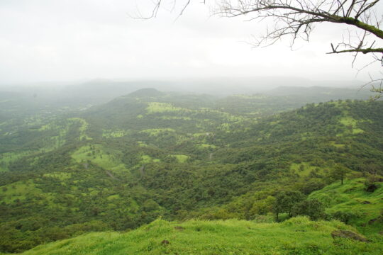
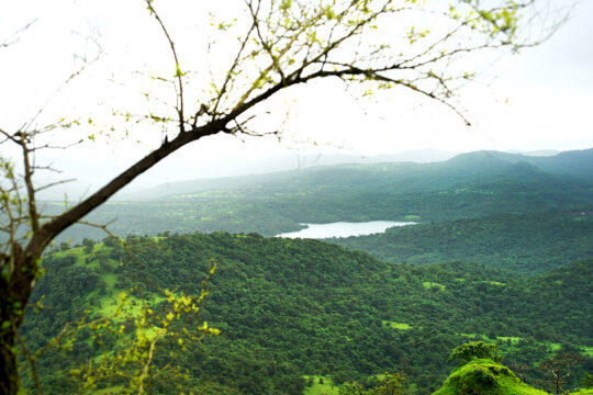
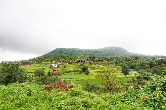
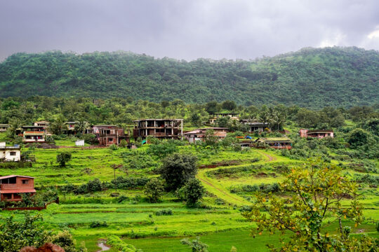
The village is situated at the extreme north of Ratnagiri District. In terms of geographical features, its area is about 43,100 Hectares, altitude is 882 feet (268 metres), latitude 17.9833 and longitude 73.2500. Time zone is UTC+5.30. Average rainfall in the taluka is 3996 mm. Mandangad is a hilly coastal zone. Mandangad is 175 km from Ratnagiri, 170 km from Pune and 210 km from Mumbai. It is connected by road. The nearest major town is Mangaon in Raigad District on Mumbai-Goa National Highway No. 66 . The Arabian Sea is about 35 km from Mandangad.
History
Overlooking the small town of Mandangad is a two-peaked hill fort also known by the same name i.e. Mandangad (also called Chitradurga fort). Mandangad fort doesn’t find much of a mention in history books. In fact, it is one of the very old forts in the region with data suggesting that Mandangad was built in the 12th century during the reign of the Shilahara dynasty. It was built by King Bhoja II. In 1661 it was under an Adilshahi Sardar(Knight) Jaswantrao Dalvi, the person who besieged Vishalgad during Shivaji Maharaj's daring escape from Panhalgad.
When Shivaji Maharaj defeated kartalabh khan and was marching towards Dabhol, Mandangad was along the way. Hearing this news, Jaswantrao Dalvi ran away to Shingarpur and Shivaji took Mandangad without a fight. It was held by Kanhoji Angre before captured by British in 1818.
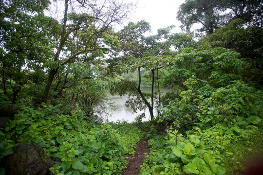
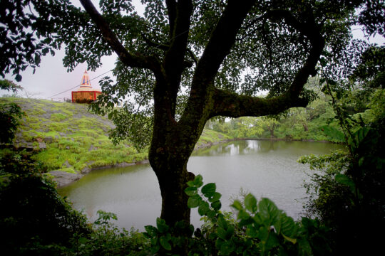
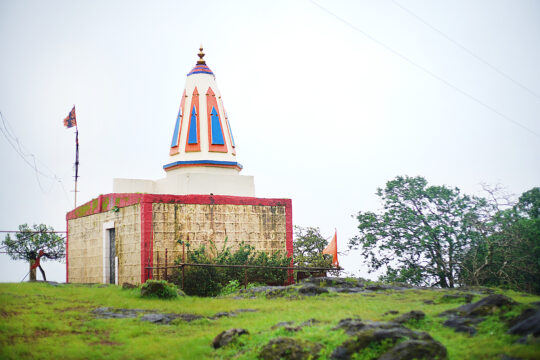
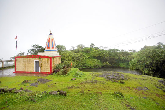
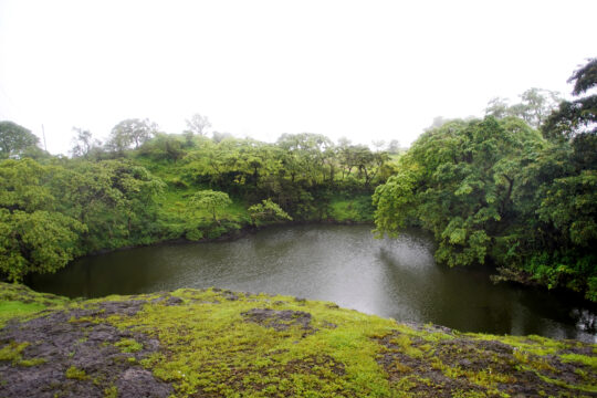
Mandangad and Bankot forts were built to safeguard the trade route through the Savitri River, which was an important trade route.[citation needed] The mazar of Saint Dawood Khan {R.A} and many Muslim graves are there. A Ganapati Temple and two ponds are present inside the fort. This tank is known as "Thorla Talao" (Big Lake).
